Things to See & Do in and Around Tibooburra
Welcome to Tibooburra and the Corner Country, a remote and captivating region in the heart of Outback New South Wales, Australia. Far from the hustle and bustle of city life, this rugged and enchanting landscape offers a glimpse into the Australian outback's untamed beauty and rich cultural heritage.
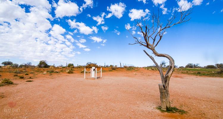
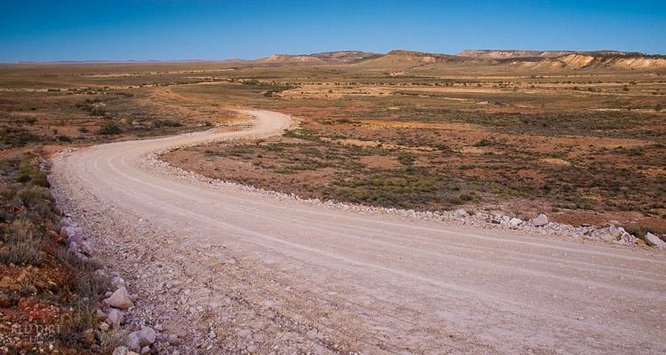
Tibooburra is the gateway to the Corner Country, a vast expanse of red earth, sweeping plains, and ancient rocky outcrops stretching to the horizon. Founded in the late 19th century during the height of the Australian gold rush, Tibooburra is a testament to its early settlers' resilience and pioneering spirit.
Surrounded by Sturt National Park's stunning wilderness and the rugged beauty of the Barrier Ranges, Tibooburra is a haven for adventurers, nature lovers, and history buffs alike. From scenic drives and bushwalks to birdwatching and stargazing, there's no shortage of opportunities to connect with the land and immerse yourself in its natural wonders.
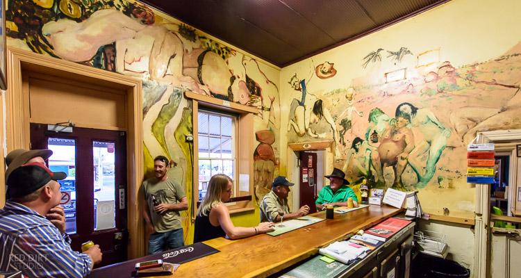
But Tibooburra is more than just a destination – it's a hub of outback culture and hospitality. The local community welcomes visitors with open arms, offering a warm and authentic outback experience that's second to none. Whether you're sampling hearty outback cuisine at a local pub, browsing the works of talented local artists, or swapping stories with friendly locals at the monthly markets, you'll find that Tibooburra embodies the true spirit of Outback NSW.
Beyond Tibooburra lies the vast and mysterious Corner Country, where the borders of New South Wales, Queensland, and South Australia converge. Here, you'll discover a landscape unlike any other – a land of endless skies, ancient Aboriginal heritage sites, and the iconic red dunes of the Strzelecki Desert.
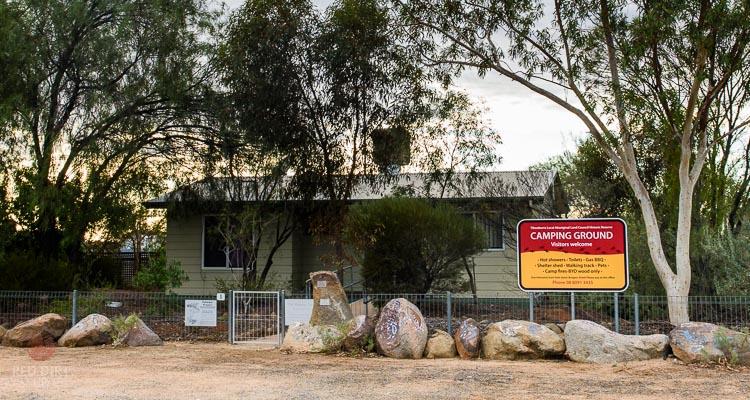
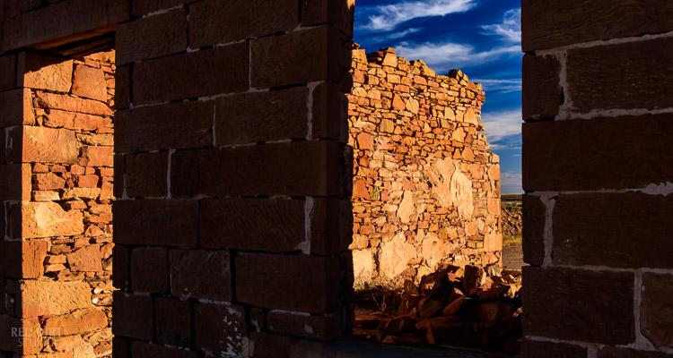
From the historic ruins of old pastoral stations to the awe-inspiring beauty of the Dingo Fence, the Corner Country is a treasure trove of natural and cultural wonders waiting to be explored. Whether you're traversing the legendary Birdsville Track, marvelling at the dramatic landscapes of the Painted Desert, or camping beneath a blanket of stars in the remote outback wilderness, the Corner Country beckons adventurers to discover its hidden charms and forge unforgettable memories.
Join us as we embark on a journey through Tibooburra and the Corner Country, where the spirit of the Outback is alive and thriving, and every road leads to adventure.